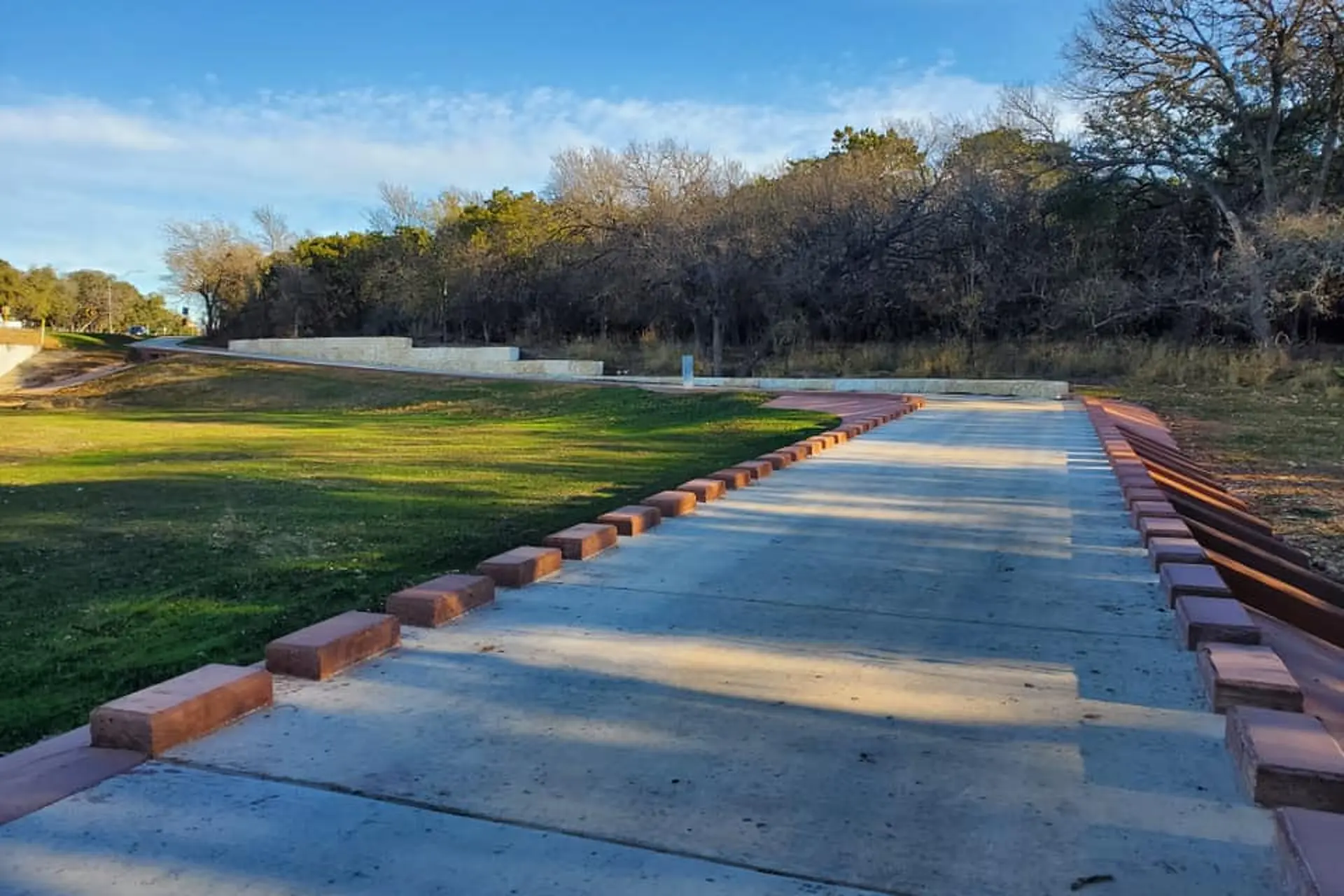
Maverick Creek Greenway Trail in San Antonio.
San Antonio Parks and Recreation Department
MYSA
By Priscilla Aguirre
For parks and recreation month, the City of San Antonio shared an updated map of the city's trails on Facebook on July 16. There are approximately 100 miles of developed multi-use and accessible trails that wind through natural landscapes along many of San Antonio's waterways.
"Happy Park & Recreation Month," the city's parks and recreation department wrote in the post. "Our community continues to GROW and a GREAT example of that is our Howard W. Peak Greenway Trail System."
Since the late 1990s, San Antonio has been working to develop the trail system that circles around the city, calling it the "emerald necklace." The Greenway trails wind through Salado Creek, Leon Creek, Medina River, and the Westside Creeks. The city-wide system was spearheaded by former Mayor Howard W. Peak.
Article continues below this ad
Brandon Ross, the special projects manager for the city's parks and recreation department, previously told MySA there are few segments left to complete the circle on the greenway. Those last projects won't start until 2026, so it's going to be a few more years before the city finishes the ring.
However, the city shared the growth of the trails with its updated map on Facebook, leaving many in the comments excited for more.
"Thank you for the updated map," Mitzi Ruth Moore wrote.
"Thanks, I love these trails, looking forward to more direct connections to the center of the city," Derek Dillberg stated.
Check out the map at the link below:
https://www.facebook.com/photo.php?fbid=668782675290178&set=a.226199212881862&type=3&ref=embed_post